
Inspiration & credits
Where the look and feel of the Caeldun Isles comes from, and the data it was built with.
The Caeldun Isles are a fictional world, but they're drawn from a real place.
The look and feel
The world is inspired by the Atlantic coast of Scotland: the Hebrides and the western Highlands. That's where the long, low outer islands with their white-sand beaches and turquoise shallows come from, and the mountainous inner isles and their temperate rainforest of oak, ivy, moss and fern. The old pinewoods, the machair, the peat-dark lochs, the tumbling burns, the shingle shores and the weather that rarely stays dry for long all come from there too.
Some of the words used on this wiki (burn, glen, loch, machair, blaeberry) come from the same place.
The regions of the Caeldun Isles are reinterpretations, not copies. Their names, their resources, their creatures and their character belong to the world of Settlers III.
Where it is
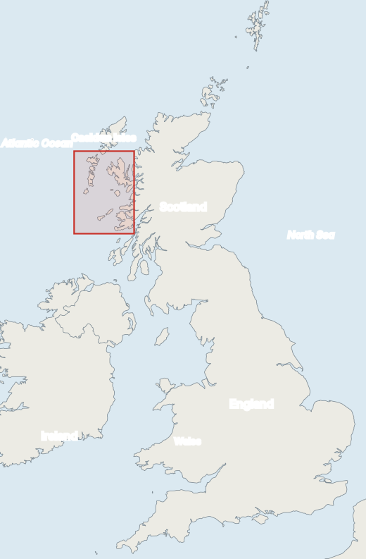
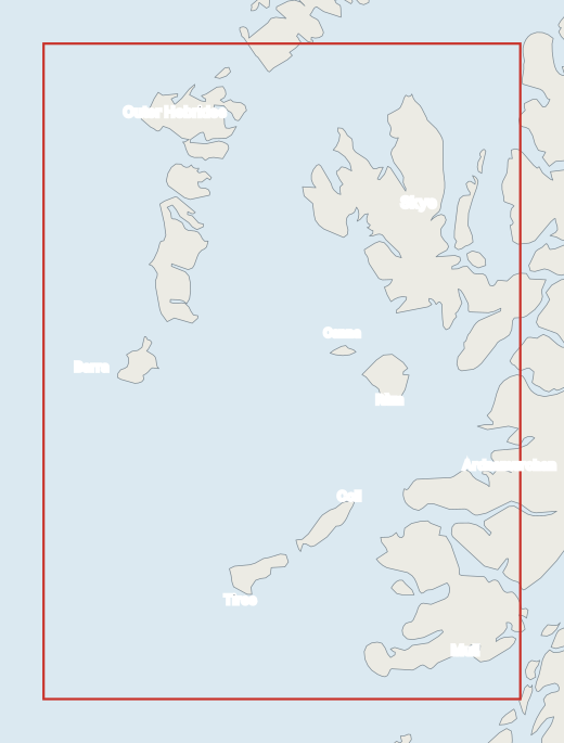
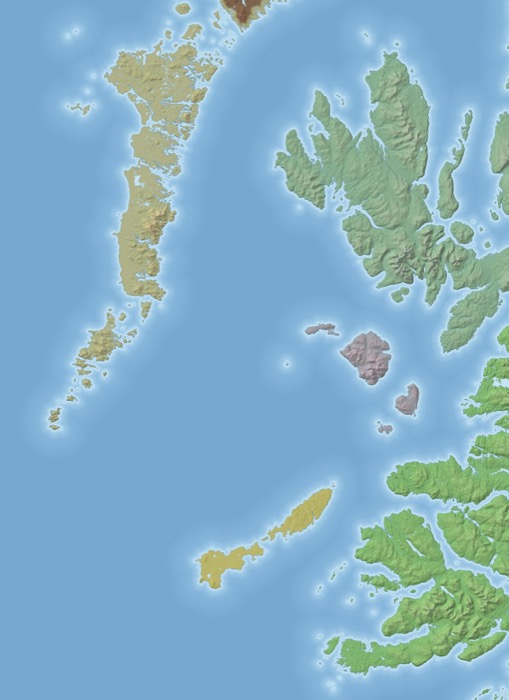
The red box shows the stretch of real coast the world was shaped from: the Hebrides and the western Highlands, about 131 km across and 180 km from north to south. At the game's scale of 4 metres to a block, that becomes 32,768 × 45,056 blocks.
Terrain data
The shape of the land was built from real height data and then reworked for the game: coasts redrawn, rivers carved, mountains steepened and the whole map blended into one world.
Coastlines on the locator maps: Natural Earth (public domain). Contains OS data © Crown copyright and database right 2026. Height data from OS Terrain 50, used under the Open Government Licence.